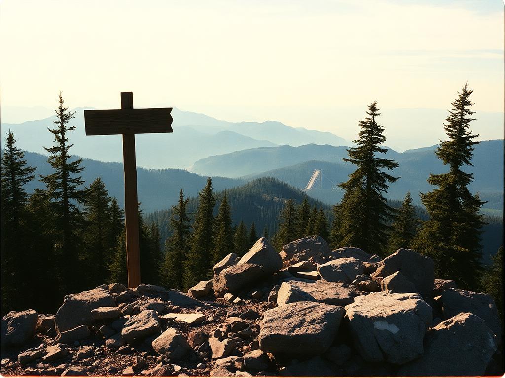
Reading the coloured stripes
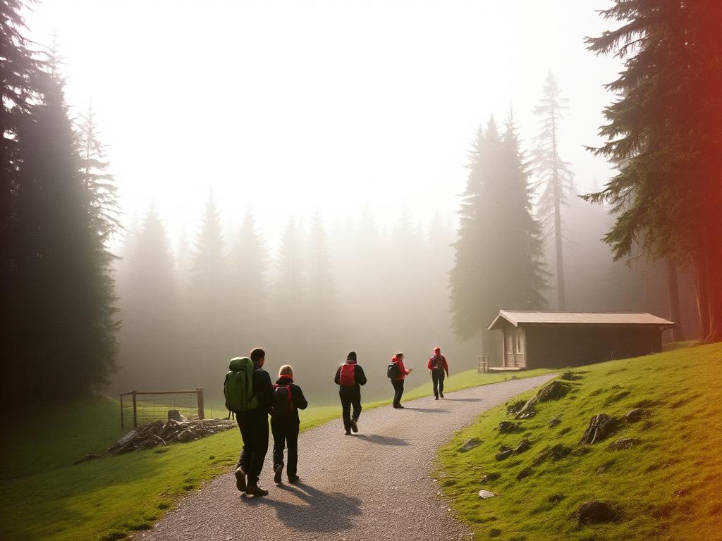
Every marked trail in the Polish Tatras follows a simple visual language: two white bands flanking a coloured stripe, painted on rocks, tree trunks and signposts at regular intervals. There are four standard colours, red, blue, yellow and green, and none of them corresponds to difficulty in a fixed way the way piste colours do on a ski map. A red trail might be an easy valley stroll in one place and a demanding ridge walk in another. The colour tells you which route you are on, not how hard it is.
This system has been in continuous use for well over a century and covers the entire national park with a density that makes getting seriously lost fairly unlikely if you simply pay attention. At junctions you will find signposts giving destinations and estimated walking times, which are calculated for a steady, unhurried pace rather than a sprint. Trusting those times rather than your own optimism is one of the most useful habits a visitor can adopt.
Because the network is so thoroughly signed, many visitors hike without a paper map at all, relying on the posts. This works reasonably well in good weather but is worth backing up with a proper Tatra trail map or a downloaded offline map, since cloud and mist can hide the next marker for long enough to unsettle even confident walkers. The habit of glancing behind you occasionally, to memorise the trail from the return direction, costs nothing and helps enormously later.
Valley walks and ridge routes
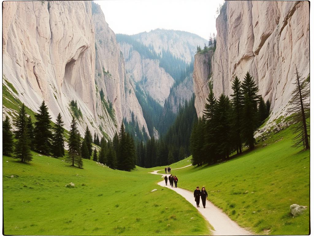
Broadly speaking, Tatra hikes fall into two families. Valley walks follow the floor of a glacially carved valley, gaining height gradually alongside a stream, usually on wide, well graded paths that suit almost any fitness level and often allow prams or bicycles for at least the lower stretch. Ridge routes, by contrast, climb onto the exposed spine of the mountains, offering huge views but demanding more stamina, sturdier footwear and respect for changeable weather.
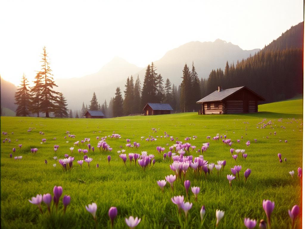
Dolina Kościeliska is one of the classic valley walks, a long limestone gorge dotted with old mine workings, meadows and dramatic rock formations, with paths gentle enough for a relaxed half day out and back. Dolina Chochołowska, the longest valley in the Polish Tatras, offers a similarly graded walk but on a grander scale, opening into wide pastures where you can still see traditional grazing huts, and it rewards those willing to walk further with quieter, more open upper reaches.
Ridge routes sit at the more serious end of the spectrum and are best approached only once you have a feel for Tatra weather and your own pace on a valley walk first. They are unforgettable on a clear day, walking a narrow spine with drops on both sides and a panorama that stretches into Slovakia, but they are also where poor decisions carry the highest consequences, so they deserve a section of their own later in this chapter.
Morskie Oko, crowded and still worth it
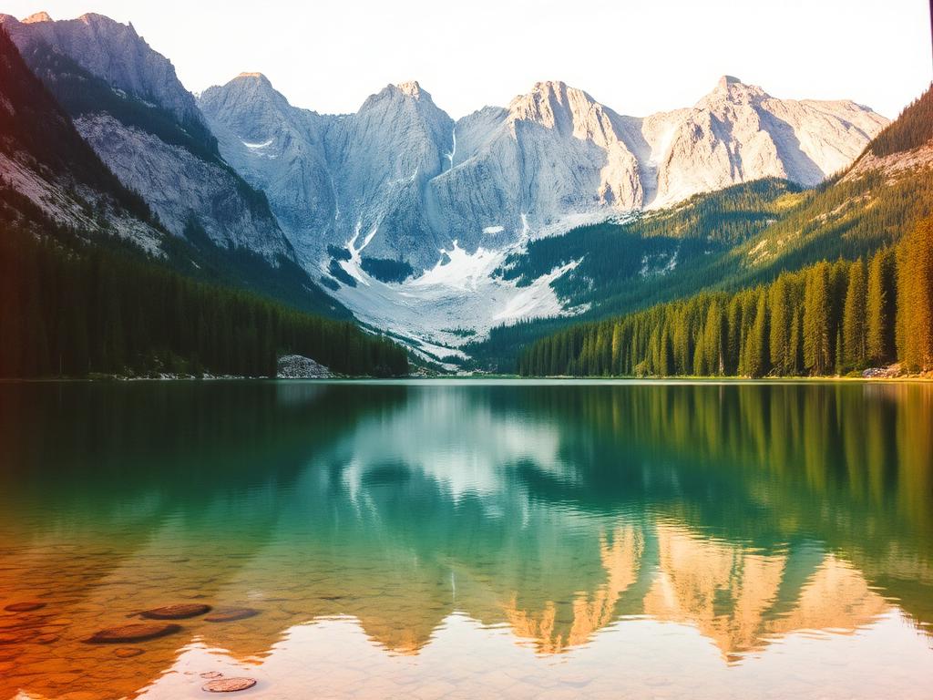
Morskie Oko, the Eye of the Sea, is the most visited lake in the Polish Tatras, and on a fine summer day the approach road and the lakeside path can feel more like a busy promenade than a wilderness trail. It draws crowds for good reason: an enormous alpine lake set beneath a genuine wall of peaks, with water that shifts through shades of green and blue depending on the light, and a setting that photographs simplify but never quite capture.
The walk in follows a broad, gently graded road rather than a narrow trail, which is part of why it suits such a wide range of visitors, from families with pushchairs to serious hikers using it as the starting point for tougher routes further up. Horse drawn carts and, at certain times, small transport services operate along part of this access road for those who prefer not to walk the whole distance, though many people still choose to do it on foot for the gradual reveal of the mountains ahead.
The honest advice for anyone bothered by crowds is to go early, ideally arriving as close to sunrise as you can manage, or to visit outside the peak summer weeks. Even with company on the path, standing at the lakeshore with the peaks reflected in still water tends to silence complaints about the walk in. It remains one of those rare places that lives up to its reputation despite, or perhaps partly because of, how many people love it.
Kuźnice, the cable car and Nosal
Kuźnice, just south of central Zakopane, is the main gateway into the high mountains and the starting point for the cable car that climbs towards Kasprowy Wierch. For hikers it also marks the start of several trails heading deeper into the range, and it gets busy early, so anyone driving is wise to plan for limited parking near the site itself and to consider arriving on foot or by shuttle from town.
The cable car is popular precisely because it removes hours of climbing and delivers a genuinely high altitude panorama with comparatively little effort, and pairing a cable car ascent with a walking descent, or vice versa, is a common and satisfying way to experience the higher zone without committing to a full day of climbing both ways.
For a shorter, sharper outing without a lift ticket, Nosal is the local favourite: a modest peak close to town whose short approach hides a genuinely steep, at times rocky final push. It rewards effort disproportionate to its size with wide views back over Zakopane and across to the higher peaks, and it is often used by locals and regular visitors as an early season leg stretcher or a quick afternoon climb when there is no time for anything longer.
Chains, exposure and Orla Perć
Some of the most celebrated Tatra routes involve sections fitted with iron chains, pegs or ladders bolted into rock, installed precisely because the terrain would otherwise be unsafe for ordinary walkers to cross. Orla Perć, whose name translates roughly as Eagles' Path, is the most famous of these, a long and demanding ridge traverse considered one of the hardest waymarked hiking routes in Europe, with sustained exposure, scrambling and sections where a slip would have serious consequences.
These routes are not for casual visitors, however fit, and they are not the place to test new hiking boots or discover a fear of heights. They demand a head for exposure, confident scrambling technique, a very early start to avoid afternoon storms, and ideally prior experience on similarly exposed alpine terrain. The Polish mountain rescue service regularly deals with incidents on these chained sections, often involving otherwise capable walkers who underestimated the commitment involved.
If you are unsure whether a route is within your ability, the safest approach is to ask at a staffed information point, read recent trail condition notices posted by the park authority, or simply choose one of the many spectacular routes that do not involve chains at all. There is no shame whatsoever in turning back at a chained section that looks harder in person than it did in a guidebook photograph; experienced mountain people do this routinely.
Mountain huts and shared shelter
Scattered through the high valleys are mountain huts, known locally as schroniska, that offer simple meals, hot drinks and overnight beds to walkers. They range from cosy and rustic to fairly basic, but all of them share a culture built around communal tables, hearty regional food like sour soup and pierogi, and a genuine warmth extended to tired arrivals regardless of language. Staying overnight in one, where capacity allows, is one of the most memorable ways to experience the mountains outside the day tripper rush.
Supplies reach many of these huts by cable car, helicopter or on the backs of workers and, in some cases, horses, which explains why simple meals can feel like a small luxury once you understand the effort behind getting the ingredients up there. Treating hut staff and fellow guests with patience and gratitude is part of the unwritten code of the mountains, and lingering too long at a packed table on a busy day is generally frowned upon when others are waiting.
Huts also function as informal information points, since staff and regular hikers often have the most current sense of trail conditions, snow patches or recent weather changes higher up. Asking a simple, polite question there is frequently more useful than any app, particularly earlier or later in the season when conditions shift quickly.
TOPR and calling for help
TOPR, the Tatra Volunteer Search and Rescue service, is the organisation responsible for mountain rescue throughout the Polish Tatras, and its members are highly trained professionals who respond to everything from twisted ankles to serious falls in extreme weather. Their presence, visible in patrol huts and rescue posts, is part of what makes the Tatras a relatively well managed wilderness rather than a truly remote one, though the mountains themselves remain entirely capable of turning dangerous with little warning.
If you or someone in your group is in genuine difficulty, the standard approach across the Tatras and much of alpine Europe is to call the mountain rescue emergency number, give your location as precisely as you can, ideally using marked trail junctions or GPS coordinates, and stay put unless moving to safety is clearly necessary. Mobile signal is inconsistent in the deeper valleys, so agreeing a simple plan with your group before setting out, including a rough return time, adds a useful safety margin.
Prevention remains far more effective than rescue. Checking a mountain specific forecast rather than a generic town forecast, turning back at the first sign of an approaching storm, and being honest about your own and your companions' fitness are the three habits that quietly prevent the vast majority of incidents TOPR is called out to handle.
Park rules, packing and the etiquette of the trail
The Tatra National Park operates under a clear set of rules designed to protect a genuinely fragile alpine environment: stay on marked paths at all times, do not pick plants or disturb wildlife, and leave no litter behind, packing out everything you carried in. Dogs are not permitted on the vast majority of trails within the park, a rule that surprises some visitors but exists to protect ground nesting birds and other wildlife that has few other refuges in a heavily visited country.
A sensible day pack for Tatra hiking includes proper walking boots with ankle support, layers that can handle a sudden temperature drop, a waterproof shell, more water than feels necessary, some solid food, a basic first aid kit and a fully charged phone. Trekking poles help considerably on the steeper descents that are harder on knees than the climbs themselves. None of this needs to be expensive or elaborate, but all of it earns its weight the first time weather turns.
Snow can linger in shaded gullies and on higher north facing slopes well into late spring, long after the valleys have turned green, so early season hikers should ask locally about conditions before attempting anything above the tree line and should be prepared to turn back if a snow patch looks harder to cross than expected. Weather in general can shift with startling speed here, a clear morning giving way to thunder within an hour, which is part of why an early start and a willingness to turn around are treated as marks of experience rather than caution.
Finally, the trail itself has its own quiet etiquette. Greeting other walkers with a simple hello as you pass is standard practice throughout the Tatras, a small gesture that carries real weight in more remote stretches where a friendly face is also, in a small way, a safety check. Yielding to walkers going uphill, keeping dogs where permitted under close control, and moving aside without complaint at a narrow chained section are the kinds of small courtesies that keep a heavily used mountain range pleasant for everyone who comes to share it.