The smallest of the giants
Stand in the market square in Zakopane on a clear morning and look south. What you see is not a hill range warming up before something bigger; it is the real thing in miniature. The Tatras are the only mountains in the Carpathian arc that carry a true alpine character, with sharp rock ridges, glacial cirques and summits well above the treeline, and yet the whole range could sit comfortably inside a single mid-sized county. It stretches only a modest distance from west to east, shared between Poland and Slovakia, and its highest points barely graze the altitude of a respectable Alpine peak. Size, though, tells you almost nothing about character.
What makes the Tatras feel large is the way they rise. Unlike ranges that climb gradually through a long apron of foothills, the Tatras erupt from the Podhale basin with very little warning. One moment you are walking through pasture and spruce forest at a gentle grade, and within a short distance the land is standing nearly on end, thrown up into cliffs, gullies and knife edged ridges. That abruptness is why the range has always loomed so large in the imagination of the people who live beneath it, and why generations of Polish poets, painters and composers have treated it as something closer to a living presence than a geological feature.
The range is conventionally divided into the High Tatras, the more dramatic and higher eastern section, and the Western Tatras, which are older in feel, more rounded in places, and quieter of foot traffic. The border between Poland and Slovakia runs more or less along the main ridge, so a hiker crossing certain passes can, in the space of an afternoon, walk from one country into another without any fence, checkpoint or fuss, following a line that was fixed only after long negotiation in the twentieth century.
Granite bones and limestone skin
Geologically, the Tatras are really two different mountain ranges welded together. The core, and the part that gives the range its jagged, spiky silhouette, is made of granite and related crystalline rocks that pushed up from deep within the earth tens of millions of years ago. Granite fractures unevenly and resists erosion stubbornly, which is exactly why the High Tatras look the way they do: needles, towers, and ridges with knife thin edges rather than smooth domes. This granite core is what draws climbers to certain vertical faces and what gives the range its reputation as a serious, technical mountain environment despite its modest height.
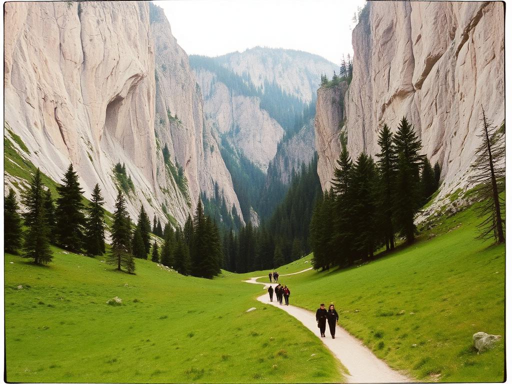
Wrapped around parts of that granite core, particularly to the north and west, are much younger sedimentary rocks, mostly limestone and dolomite, laid down when this whole area lay beneath a shallow sea long before the mountains existed at all. Limestone behaves very differently from granite. Water dissolves it slowly over centuries, carving caves, sinkholes and underground streams. The valleys of Kościeliska and Chochołowska, both easily reached from Zakopane, sit on this limestone belt, which is why they contain some of the richest cave systems in Poland and why their slopes have a gentler, greener, more wooded character than the bare granite spires further east.
This split personality, hard crystalline rock in the high core and softer dissolving rock around the edges, is not just a curiosity for geologists. It shapes where water goes, where soil forms, where forest can grow and where nothing but lichen survives, and it is the underlying reason the two most popular valley walks near Zakopane feel so different from a scramble up toward the exposed granite summits further along the ridge.
Carved by ice: lakes, cirques and valleys
The Tatras owe much of their present shape not to the slow patience of rivers but to the more violent sculpting of glaciers during the ice ages. Rivers cut valleys shaped like a letter V; glaciers gouge valleys shaped like a letter U, with wide, flat floors and steep walls, and that U shaped profile is everywhere once you learn to notice it, from the broad floor of the Chochołowska valley to the amphitheatre like basins tucked beneath the highest ridges.
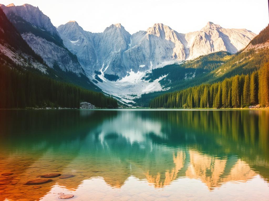
Where a glacier sat and ground away at bedrock for thousands of years, it often left behind a deep rocky bowl called a cirque, and when the ice finally retreated these bowls filled with meltwater to form the mountain lakes the Tatras are famous for. The most celebrated of these, a large, startlingly turquoise lake tucked beneath towering rock walls, draws enormous numbers of visitors every summer, and rightly so, though it is worth remembering it is only the best known of dozens of smaller, quieter tarns scattered through the range, many of them reachable only by longer and more demanding paths.
These lakes are cold even in the height of summer, fed by snowmelt and groundwater rather than by any sun warmed stream, and their colour, that particular glassy blue green, comes from the way light interacts with very fine rock flour suspended in the water, ground down by ice long before any hiker arrived to admire the view. Walking up toward one of these basins, you are quite literally walking through a museum of the last ice age, still legible in the shape of the land underfoot.
Two countries, one ridge
The Tatras are unusual among mountain ranges in being shared so evenly between two nations that both claim deep emotional ownership of them. For Poles, and especially for people from Podhale, the Tatras are the mountains, spoken of with a kind of proprietary affection that assumes no explanation is needed. For Slovaks the same range, seen from the other side of the ridge, carries an equally strong claim, expressed through their own long tradition of mountaineering, folklore and protected landscape.
The border itself runs along the watershed, the line where rain falling on one side flows north toward Poland and rain falling on the other flows south toward Slovakia, which is a tidy and ancient way of dividing mountain territory. Today the frontier is entirely open to walkers, marked mostly by small boundary stones and the change in trail markings and signage rather than by anything resembling a barrier, a pleasant reminder of how much has changed since the border here was, at various points in the twentieth century, a genuinely serious and heavily controlled line.
Because the highest and most technically demanding peaks sit mostly on or near this shared ridge, many of the range's grandest summits require either a long approach from the Polish side or a crossing into Slovak territory, and hikers based in Zakopane should not be surprised to find that some of the most dramatic Tatra scenery pictured in guidebooks is, strictly speaking, just across the line.
A national park worth protecting
The Polish side of the range has been a national park since the years after the Second World War, one of the oldest and most cherished protected areas in the country, and it exists precisely because the Tatras are rare: nowhere else in Poland does an alpine ecosystem, with its own particular plants, animals and rock formations, occur at all. The park was established not as a scenic backdrop but as a deliberate act of conservation, an acknowledgment that a landscape this fragile could easily be worn away or hunted out if left unmanaged.
Because of that protection, movement inside the park is more structured than in an ordinary forest. Walkers are asked to keep to marked trails, camping is restricted to specific circumstances, and certain valleys or slopes are closed seasonally to protect nesting birds, denning animals or simply to let overused ground recover. This can feel restrictive to a visitor used to wandering freely, but it is the very reason the range still looks, in most places, much as it did a century ago, rather than eroded into bare mud by uncountable boots.
The Slovak side has its own mirrored national park, and the two authorities cooperate closely, since chamois, bears and eagles have never recognised the border and any serious conservation effort has to think of the Tatras as a single connected system rather than two separate territories that happen to touch along a ridge.
Chamois, marmots and the animals of the high rock
The signature animal of the Tatras is the Tatra chamois, a nimble, sure footed relative of the goat that lives on cliffs and scree slopes most other mammals would find impossible to cross. Seeing one, usually a distant pale shape picking its way along an apparently sheer wall, is one of the small thrills of a longer Tatra walk, though it demands patience, a good pair of eyes, and often a willingness to simply sit still for a while and scan the rock rather than expect an animal to appear on cue.
Marmots are more sociable in a sense, or at least noisier, since their shrill alarm whistle is often the first sign that one is nearby, warning its colony of an approaching human long before it can be seen. They live in burrows dug into high alpine meadows and spend the short summer eating intensively to build fat reserves for a winter spent almost entirely asleep underground, a survival strategy well suited to a place where snow can linger well into what feels, lower down, like proper spring.
Higher still in the food chain, the Tatras support a small population of brown bears and an even smaller, more elusive population of Eurasian lynx, both animals that keep almost entirely out of sight of ordinary hikers, preferring dense forest and dawn or dusk activity to any encounter with people. Golden eagles nest on inaccessible cliffs and can sometimes be seen riding thermals along the ridgelines, a slow, patient, circling flight quite different from the quick wingbeats of the smaller birds of prey more commonly seen lower down near Zakopane itself.
From spruce forest to bare stone: the vegetation belts
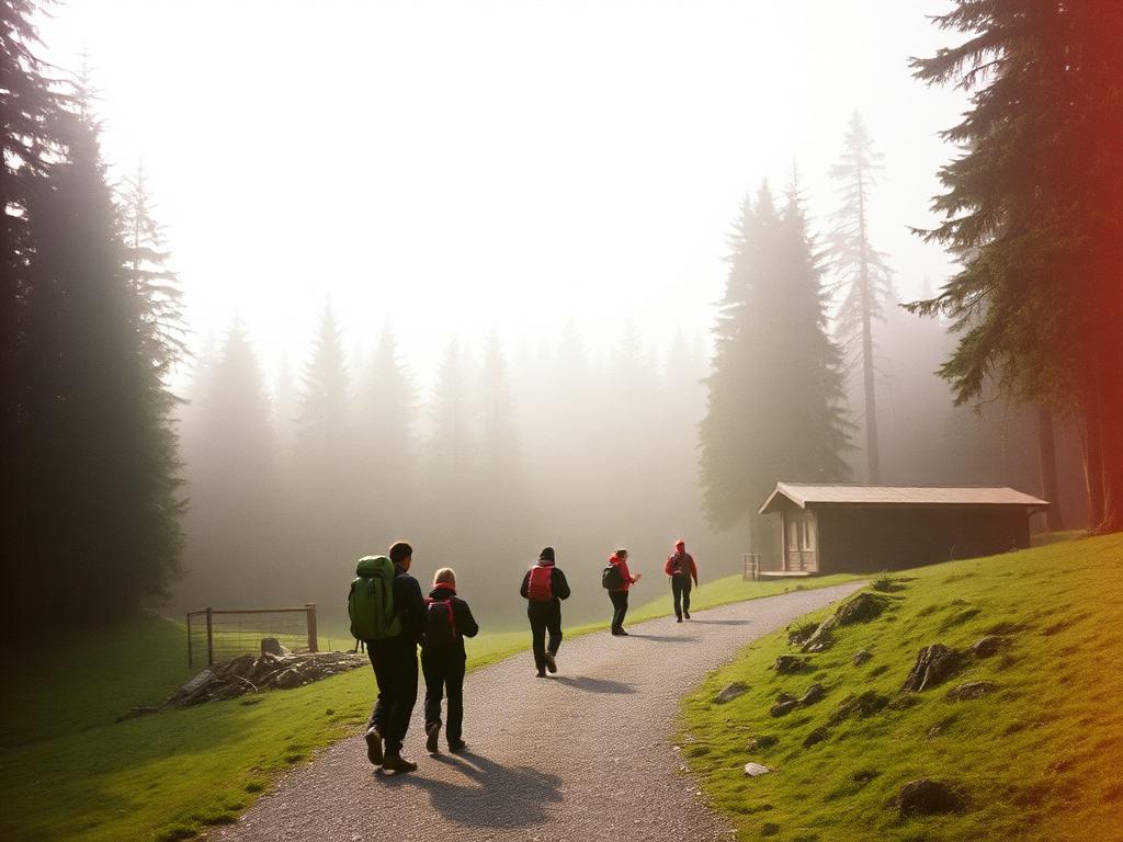
Walking from Zakopane toward the high ridge is, ecologically speaking, a journey through several distinct worlds stacked one above another. It begins in mixed and then pure spruce forest, dim, resinous and quiet, the kind of woodland that has inspired much of the region's folklore about forest spirits and hidden paths. As altitude increases the spruce grows shorter and more wind bent, until it gives way abruptly to a dense, low, tangled band of dwarf mountain pine, a shrubby, ground hugging plant that can survive conditions that would kill a full sized tree.
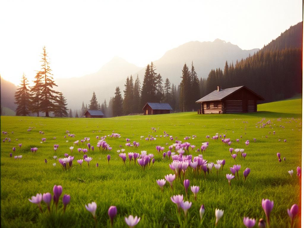
Above the dwarf pine belt lie the alpine meadows, a short growing season of remarkably dense and colourful wildflowers making the most of a brief window before autumn returns, and it is here that marmots burrow and chamois graze. Higher still, plant life thins to hardy cushion forming species tucked into rock cracks, mosses and lichens clinging to surfaces that seem, to an untrained eye, entirely lifeless, until finally the highest ridges and summits are simply bare rock, swept clean by wind and frost, where almost nothing grows at all.
This layering means that a single day's walk in the Tatras can feel like travelling through several different climates, and it is worth dressing and planning accordingly; the shaded, cool spruce forest near the valley floor gives very little indication of the wind and temperature drop waiting above the treeline.
The halny wind and mountain weather
No account of Tatra weather is complete without the halny, a warm, dry, often violent wind that pours down from the mountains into Podhale under particular pressure conditions. It can arrive with startling speed, snapping trees, rattling roofs and, according to long local tradition, affecting people's moods and even health, a belief taken seriously enough that some older residents of Zakopane still speak of headaches, irritability and restlessness arriving with the first gusts.
Beyond the halny, the Tatras are simply changeable in the way most serious mountains are. A bright, warm morning in Zakopane offers no guarantee of conditions on a ridge, where cloud, wind and sudden cold can move in within an hour, and thunderstorms in the warmer months are a genuine hazard on exposed rock. Anyone heading up from town, even for what looks like a short walk, benefits from checking a forecast, carrying a warm layer, and treating any distant thunder with real respect rather than curiosity.
Snow lingers on the highest slopes long after Zakopane itself has turned green, and it can return early in autumn, which is why the hiking season proper in the highest parts of the range is considerably shorter than the pleasant weather down in town might suggest.
What the mountains mean, standing in Zakopane
For a visitor, all of this geology and ecology eventually reduces to a simple, useful piece of common sense: the wall of mountains visible from Zakopane's streets is not scenery in the passive sense but an active, living, protected system with its own weather, its own rules and its own rhythms, and it rewards a bit of preparation and humility far more than it rewards haste.
Whether the plan is a gentle valley stroll toward Kościeliska, a longer day toward one of the glacial lakes, or simply an afternoon on the Gubałówka ridge looking across at the higher peaks without setting foot on them, understanding how the range was formed and why it is protected changes the way it looks. The jagged skyline stops being a picturesque backdrop and becomes something closer to a very old, very patient neighbour, one that has shaped the culture, the weather and the daily rhythm of Podhale for as long as people have lived beneath it.